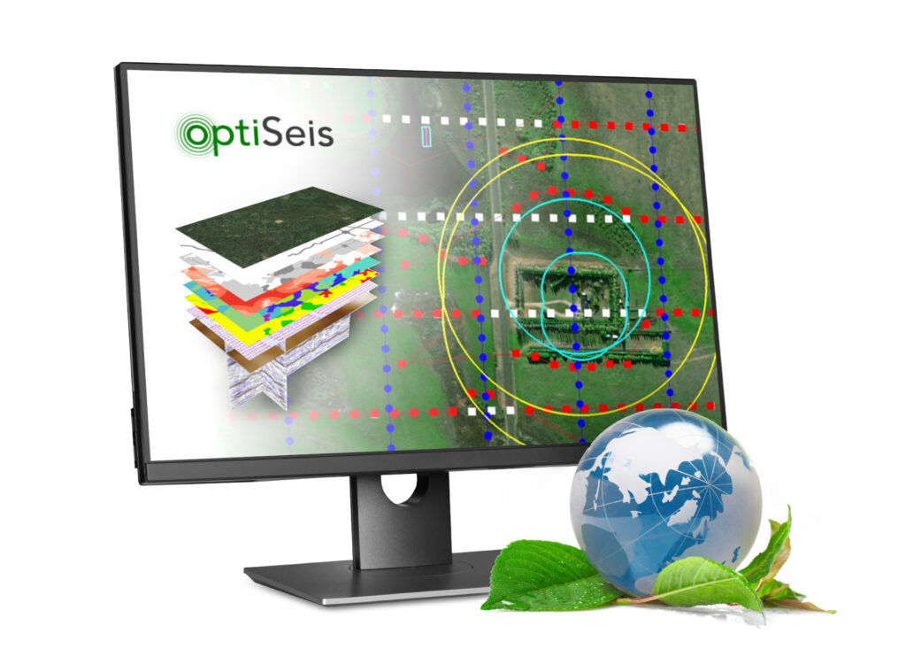
Founded in 2011 to provide clients with accurate imaging solutions, utilizing proprietary software and consulting services. Recently OptiSeis has expanded into new technologies such as ecoSeis to reduce the emissions and land footprint associated with acquiring subsurface data.
What We Do
Today we actively work with companies to provide high resolution 2D, 3D, 4D, VSP and passive seismic surveys in both traditional energy markets such as oil and gas exploration, as well as emerging clean tech areas such as carbon capture and sequestration, critical minerals, and geothermal.
Today we actively work with companies to provide high resolution 2D, 3D, 4D, VSP and passive seismic surveys in both traditional energy markets such as oil and gas exploration, as well as emerging clean tech areas such as carbon capture and sequestration, critical minerals, and geothermal.
Focus On All Your Targets
OptiSeis is focused on providing high resolution, cost effective subsurface data with the lowest environmental footprint.
Our team is highly skilled in all aspects of Geophysics, from initial design to final interpretations. We are obsessed with understanding your data and using this knowledge to optimize seismic surveys for efficient field operations and reduced environmental impact.
The Team Behind It All
Our team is highly skilled in all aspects of Geophysics, from initial design to final interpretations. We are obsessed with understanding your data and using this knowledge to optimize seismic surveys for efficient field operations and reduced environmental impact.
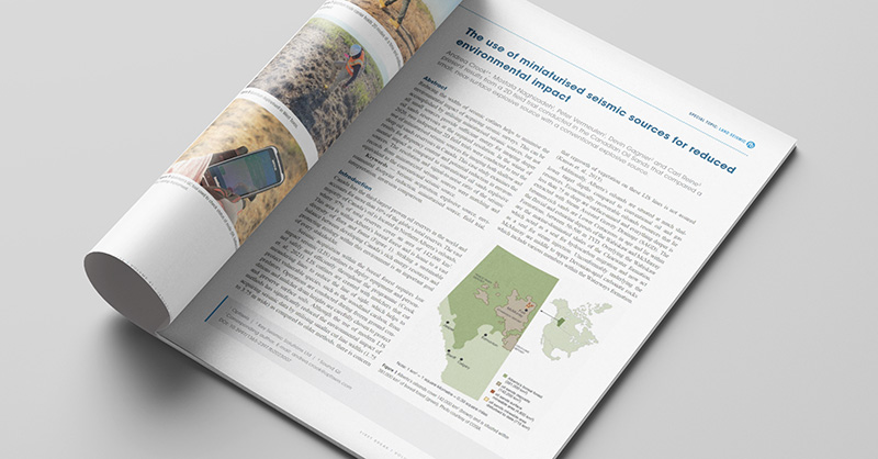
Media, Events & Publications
Mining Now: Unveiling Cutting-Edge Seismic Software Capabilities with OptiSeis™ Solutions